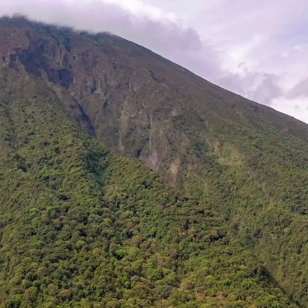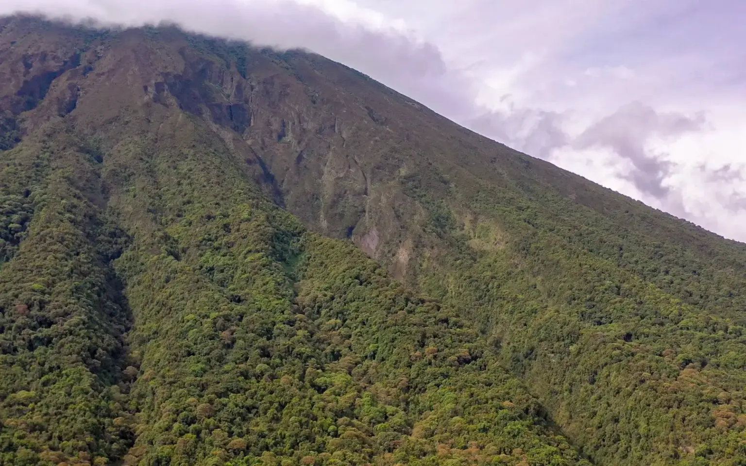
Kisoro, tucked beneath the Virunga volcanoes in Uganda’s far southwest, is the closest town to Mgahinga Gorilla National Park and a natural crossing point for travelers heading into Rwanda or the Democratic Republic of the Congo. At an elevation of nearly 1,930 metres, the town sits amid some of the most dramatic mountain scenery in the region, with Lake Mutanda and the Virunga peaks both within easy reach.
The town at a glance
- The nearest town to Mgahinga Gorilla National Park, at an elevation of about 1,929 metres
- A population of roughly 17,500 as of the 2014 census
- About 76 km west of Kabale and 484 km southwest of Kampala
- A natural gateway to Rwanda’s Volcanoes National Park and the DRC’s Virunga National Park
A gateway to three countries’ gorillas
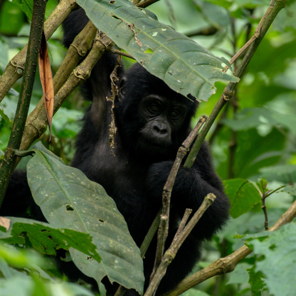
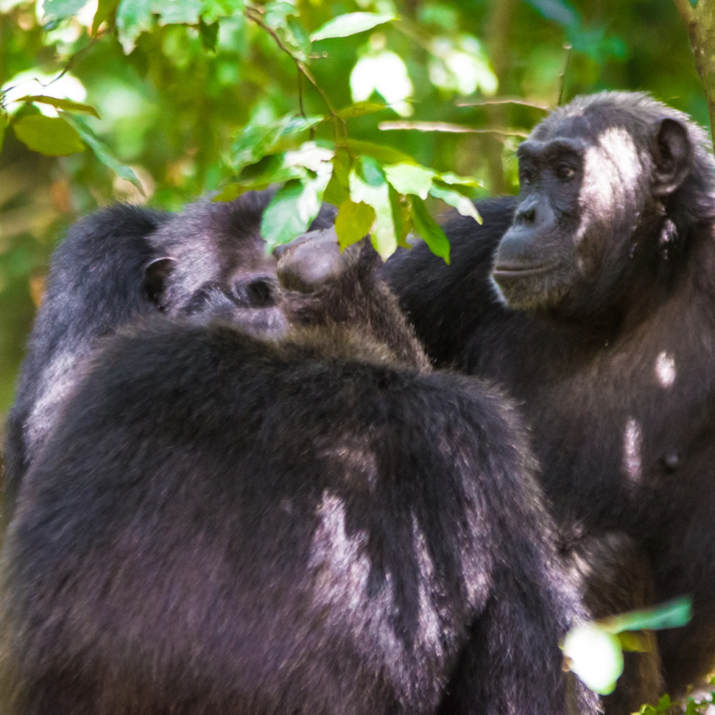
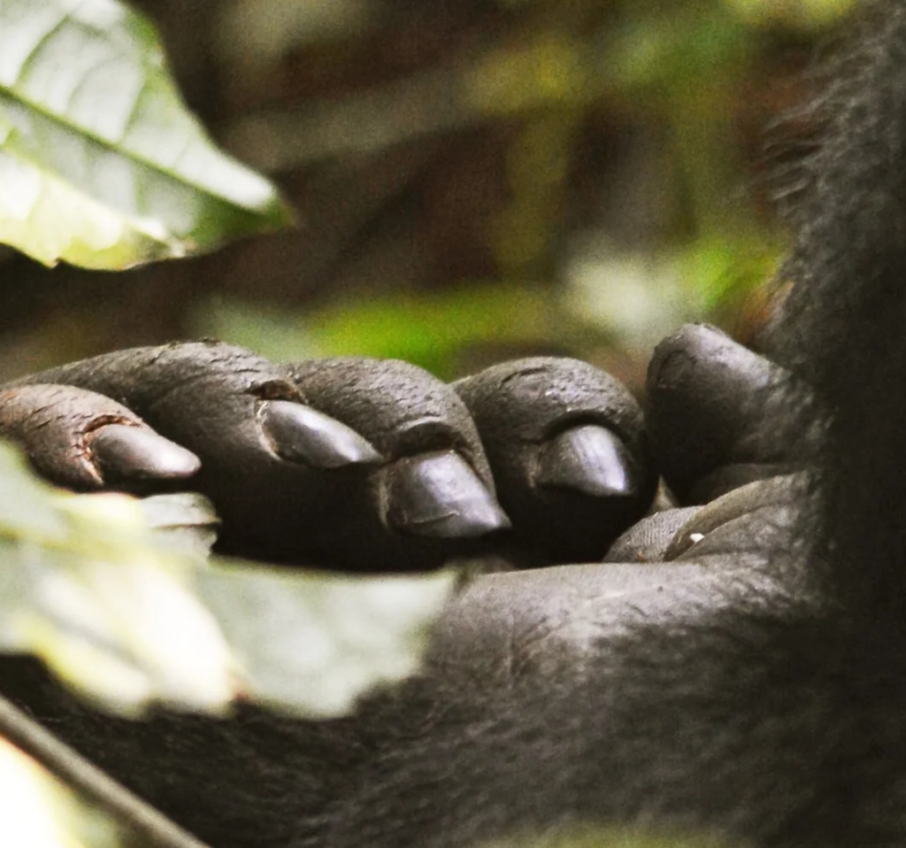
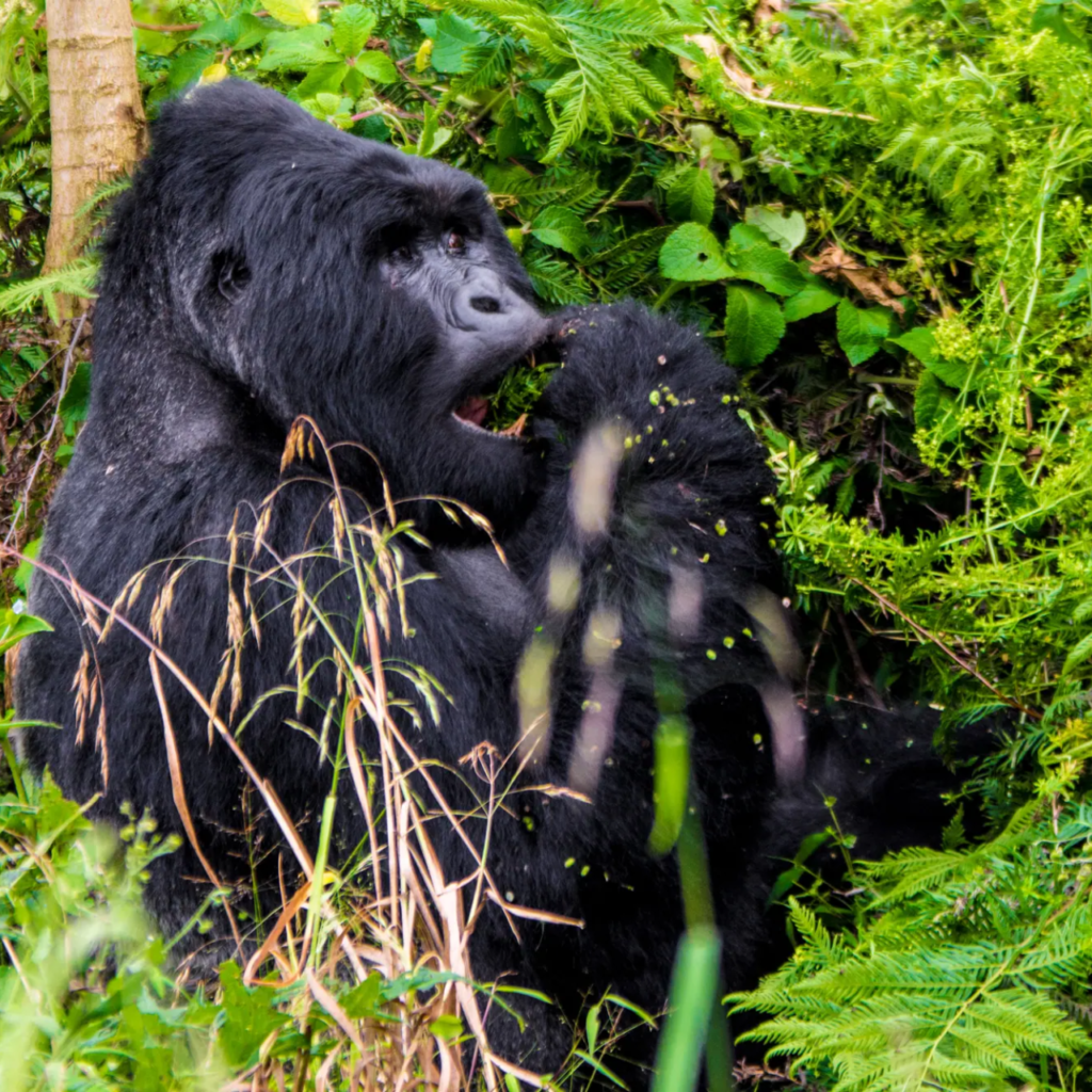
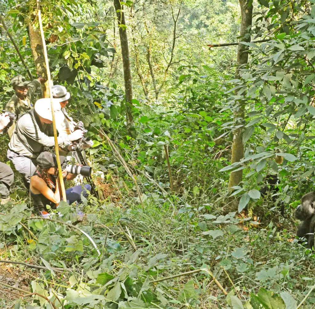
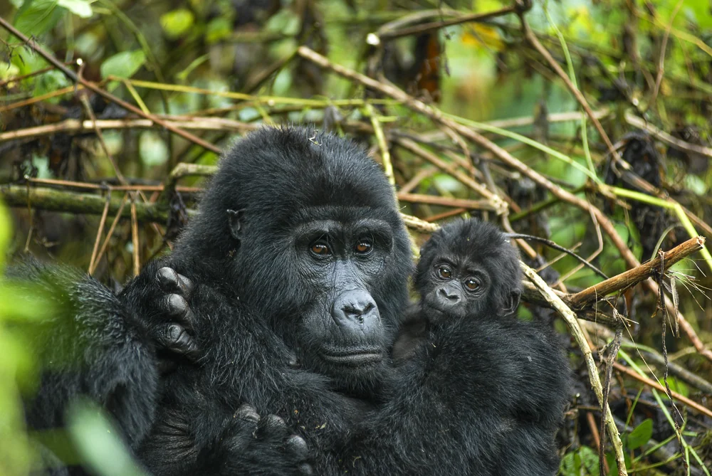
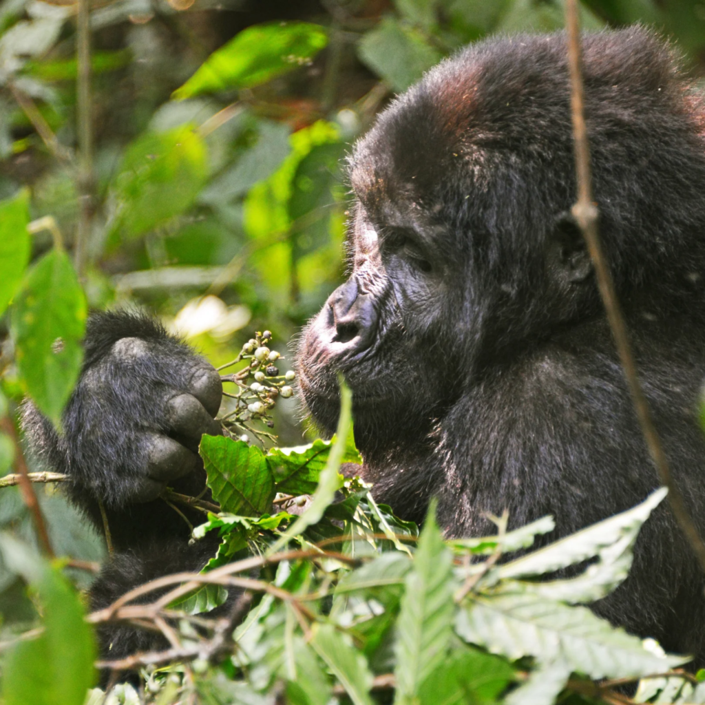
Kisoro’s position beneath the Virunga range puts it within reach of gorilla trekking destinations in three countries: Uganda’s own Mgahinga Gorilla National Park, Rwanda’s Volcanoes National Park across the nearby border, and the DRC’s Virunga National Park further west, making it one of the most strategically positioned towns in the entire Virunga gorilla landscape.
Lake Mutanda and mountain scenery
About 20 km north of town, Lake Mutanda offers striking views of the Virunga volcanoes reflected in calm water, along with canoe outings and island walks that make a relaxed complement to more strenuous gorilla trekking or volcano hikes. Kisoro’s colourful local markets and surrounding terraced hillsides add further texture to a stay in the area.
Things to do
- Using Kisoro as a base for gorilla trekking at Mgahinga Gorilla National Park
- Canoeing or island walks on Lake Mutanda
- Volcano hiking in the Virunga range near Mgahinga
- Exploring Kisoro’s local markets and surrounding countryside
Practical information
- Reached by road from Kabale, about 76 km, or a longer drive from Kampala
- A convenient base for crossing into Rwanda or the DRC for wider Virunga-region itineraries
- Best visited alongside a Mgahinga or Bwindi gorilla trekking itinerary
Kisoro’s position at the heart of the Virunga gorilla landscape makes it a valuable base for a multi-country gorilla itinerary. Offmap Safaris can combine it with Mgahinga, Bwindi or a cross-border Rwanda extension. To start planning, visit Plan My African Safari, message us on WhatsApp at +256 701 243 304, or email [email protected]. See also our notes on health and safety and visa and entry requirements.